Después de la gran tormenta, ¿cómo rediseñaremos? (El Mostrador)
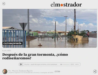 Image credit: El Mostrador
I just published an opinion column in the newspaper El Mostrador on how we will redesign the infrastructure that have been affected by the big storm that hit the Central-South zone of Chile in the end of June of this year 2023.
In this column, I states that it is of vital importance that the design of future infrastructure works considers -at least- the estimation of flood risk maps, and that the use of floodplains (free of human settlements) be prioritized in the communal regulatory plans, floodplains that must be estimated using the best data and techniques available, to avoid future human, social and material tragedies.
For more information please visit: Después de la gran tormenta, ¿cómo rediseñaremos

My Caption

I am an Associate Professor in the Department of Civil Engineering at the University of La Frontera. I hold a PhD in Environmental Engineering from the University of Trento (Italy) and completed postdoctoral training at the European Commission’s Joint Research Centre. I have more than 20 years of experience in water resources research and have previously served as an Associate Researcher at the Center for Climate and Resilience Research (CR)2 and as a member of the Earth Sciences Assessment Group of the Chilean National Research and Development Agency (ANID).
My research lies at the interface of hydrology, data science, and environmental sciences, with a particular focus on the use of gridded datasets and open-source tools to investigate droughts, extreme events, and water-related impacts of global change.
I work across spatial and temporal scales to improve the understanding of catchment-scale hydrological processes and to translate this knowledge into operational modelling, forecasting, and early-warning systems that support robust environmental decision-making.
Please reach out to collaborate 😃